Cool
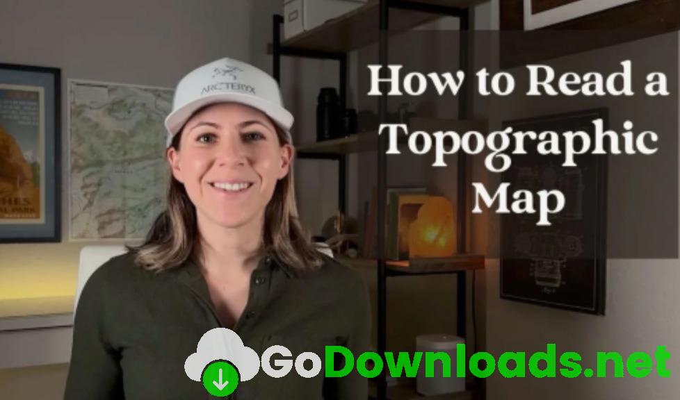
Learn to Read Topo Maps: An Essential Skill for Landscape Photographers
https://www.skillshare.com/en/classes/Learn-to-Read-Topo-Maps-An-Essential-Skill-for-Landscape-Photographers/938327807?via=search-layout-grid
Do you love to explore the outdoors and capture stunning images?
Join naturalist, photographer, and outdoor educator Meredith Fontana to learn how to read a topographic map – an essential skill if you want to find the best locations to take landscape photographs.
In this course you will learn:
- The basics of topographic maps, including how to read contour lines, identify elevations, and understand the topography of the land.
- Where to find and download topographic maps to use for your own trips.
- How to use topographic maps to plan your shots, including how to find the best angles and locations for your photo shoots.
- How to use Google Earth to better visualize topographic maps on a virtual landscape.
This course is for:
- Anyone who loves to explore the outdoors and escape the crowds. Hikers, backpackers, cyclists, and overlanders will find this course especially useful.
- Beginner to advanced photography enthusiasts. You do not need experience reading a topographic maps to take this course.
- Anyone who wants to capture the beauty of our planet with a camera, no matter what type of camera you have.


